Advantages
+Products
- Tents & Sleep
- Sleeping Bags & Mats
- Gas Stoves & Fuel
- Clothing & Shoes
- Rental Cars
- Cooking Equipment
- Wi-Fi Internet - Phone
- Tables & Chairs
- GPS - Maps - Nav
- Hiking & Trekking
- Accessories
- - Best Sellers -
- Packages
Our Quality Brands
We provide the largest choice of clothes, devices and camping equipment for rent in Reykjavik!
Ensure you are well equipped for the Icelandic weather.
Enjoy the Iceland with great clothes & gear at competitive prices!
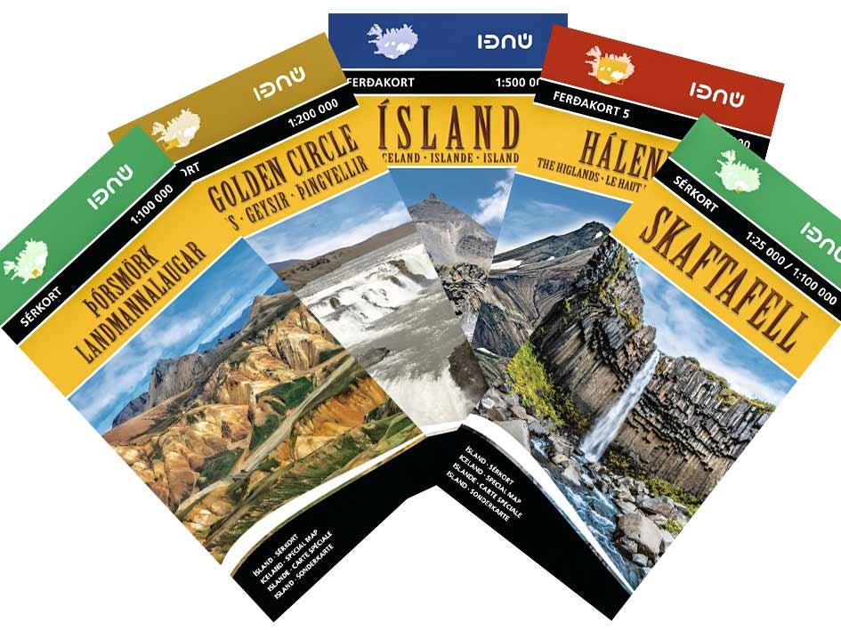
Buy Maps of Iceland
€ 22
Maps of Iceland from the best publisher are available. We have detailed road and hiking maps of all areas of Iceland, including hiking trails like Laugavegur (Landmannalaugar - Thorsmörk), The Highlands, Skaftafell, Hornstrandir, Myvatn, Ásbyrgi, and more. Topographic maps are a valuable tool for hikers and campers. They help you to plan your trip and allow to greatly decrease the chances of unpleasant situations.
These are the perfect companion to guide you on your adventure in Iceland..
Map descriptions are available in 4 languages: English, Deutsch, Francais, Íslensku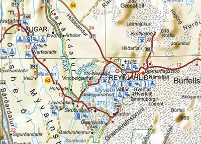
The scales available are from 1:25.000 up 1:500.000.
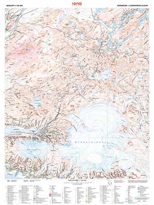
Icelandic map features
- Clearly marked trails for hiking, biking, horseback riding, ATV, and more
- Road category marked with color codes
- Detailed topography
- Camping grounds and refuges
- Important safety information and travel tips
- Key points of interest
- UTM and latitude/longitude grid, as well as selected waypoints and a scale bar for easy and accurate navigation
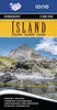
Iceland road map
1:500.000
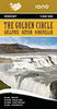
Iceland golden circle map
1:200.000
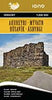
Akureyri Myvatn Husavik
1:200.000
Snaefellsnes Iceland map
1:200.000
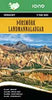
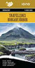
Landmannalaugar - Thorsmork map
1:100.000
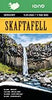
Skaftafell Map
1:25.000 / 1:100.000
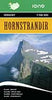
Hornstrandir map Iceland
1:100.000
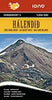
Iceland Highland map
1:250.000
Related Items


Shop address:
Vatnsmýrarvegur 10 (BSÍ Bus Terminal),
101 Reykjavik
Iceland

Phone & Email:
Phone +354 647-0569
info@iceland-camping-equipment.com

Pick-up & drop-off anytime - 24/7
No matter when your flight is,
you can access our room at anytime with 15-24 hours notice!

Store open every day from 9:00 to 17:00
All year around
Pick up always possible 24/7 with 15-24 hours notice

List of campsites in Iceland:
Open the website: www.gocamping.is
and you will see all campsites in Iceland

Quality gear for Iceland
Tent, sleeping bag & mats
Gas stove, cooking set, cooler...
Iceland map, Hiking GPS
WiFi hotspot, Shoes, Clothes, Parka, PLB, etc...
© 2011- 2026 Iceland Camping Equipment ®
Enjoy the rest of your Tuesday !